Potomac & River Crossings
The Potomac is why the city is here — the fall line's head of navigation — and it remains the region's defining crossing: a river that separates two states and the District, whose banks are lined for miles with federal parkland, parkways, and protected shoreline. A utility crossing of the Potomac is the signature regional bore, and it is an authority-stack project of the first order: the states' agencies, the District's where it applies, federal land managers on the banks, and regulatory review on the water itself.
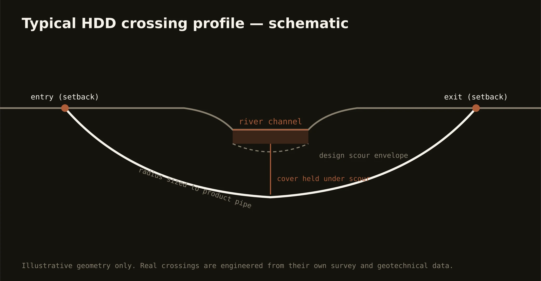
The fall line makes it a geology project too. Above Georgetown the river runs the piedmont — gorge reaches, rock shallow and opinionated, the Great Falls story written in granite. Below, it widens over coastal-plain sediment toward tidewater. A crossing's profile is therefore a geotech conclusion, not a template: rock-aware where the province demands it, buoyancy-and-sediment engineering where it doesn't.
The same doctrine covers the region's other named water — the Anacostia through the District's east, the Occoquan on the Virginia growth line, the Monocacy through Frederick's piedmont. Named water here nearly always means a federal or watershed overlay on top of the owners; the quote names the full stack and carries its longest clock honestly, because on this river the permit is the schedule.