How Directional Drilling Works in DC-Region Ground
The fall line: one region, two geologies
Washington exists where it does because the Potomac's falls stopped the ships — the fall line, where the piedmont's crystalline rock dives under the coastal plain's marine sediments. That founding fact is still the region's ground map. West and north: residual clays over schist, gneiss, and granite, with depth-to-rock changing parcel by parcel the way piedmont rock insists on. East and south: deep sands, silts, and clays running to tidewater, soft drilling with a water table that participates. The line runs roughly through the city itself, which means this is genuinely a two-geology metro — and quotes that don't name the province are guessing.
The permit map is the real terrain
Three state-level road authorities plus the District's own, dozens of county and municipal processes, dense rail and transit corridors with their own coordination, and — uniquely — federal land laced through the everyday map: parkways, park units, reservations, and protected riverbanks. The regional trade skill is authority literacy: identifying every owner an alignment touches before pricing it, filing in parallel, and scheduling to the longest honest clock. In most metros the ground is the hard part and the permits ride along; here they trade places on any given job.
The sequence, capital edition
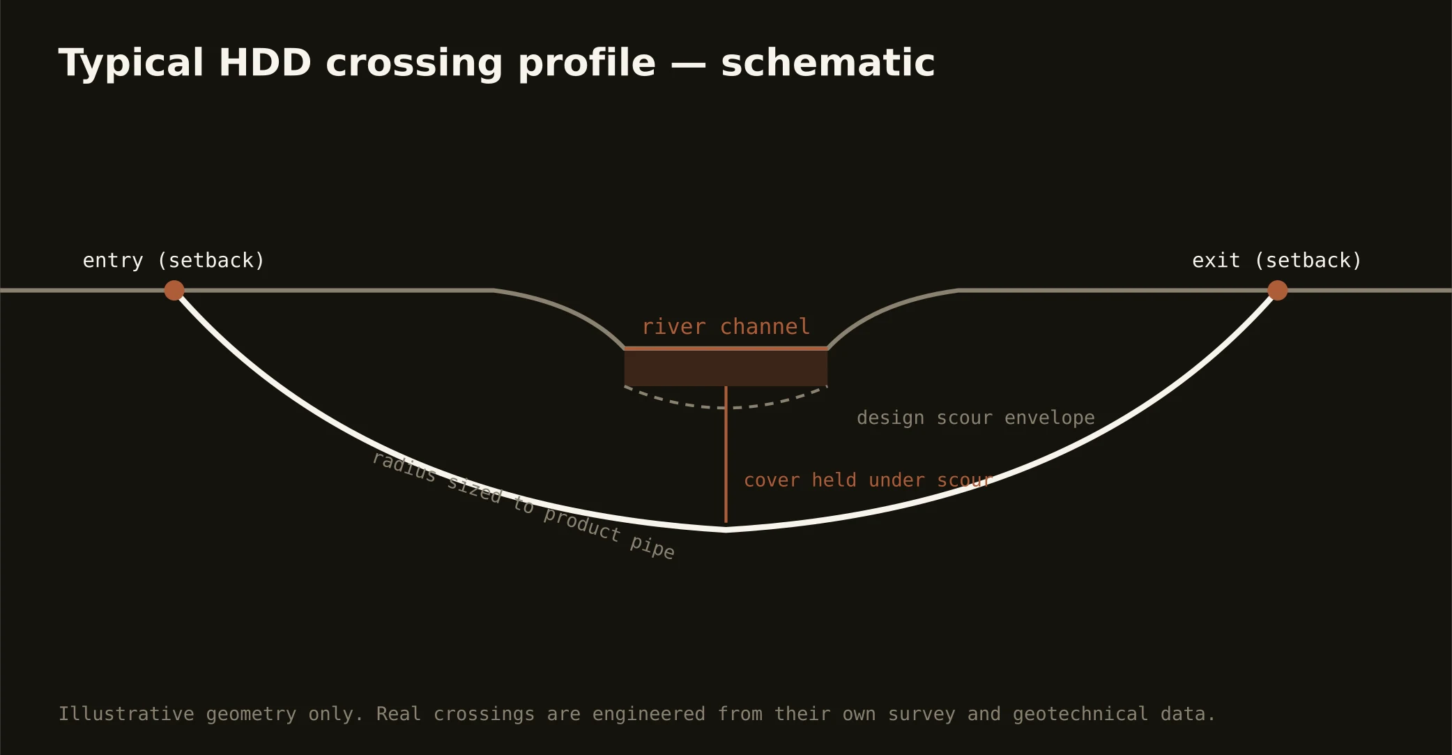
Standard bones: one-call locates (each jurisdiction's system) plus private designating, potholes on every crossing utility — with the District's underground treated as the crowded archive it is — pilot bore on profile, reaming to roughly one and a half times product, pullback, restoration. Regional bends: rock-transition tooling staged west of the fall line, dewatering and ballast east of it, transit-adjacency coordination where the rail map says so, and erosion control to the Chesapeake watershed's serious standards everywhere.
What the buildout west means for everyone
Data Center Alley's growth isn't contained to Loudoun: the transmission, fiber, and water programs feeding it cross the whole region, and the buildout's spread through Prince William keeps drawing new corridors across new jurisdictions. For owners elsewhere in the metro, that means competing for the same crews, permits, and utility attention as the hungriest campus market on Earth — and it's one more reason scope discipline and early filing decide schedules here. The desk behind this site prices that market context in, because pretending it away doesn't make it leave.
Straight answers
Will you hit rock on my bore?
West of the fall line, price as if you might — piedmont depth-to-rock is parcel-by-parcel news, and our quotes state ground classes explicitly. East of it, rock is rarely the question; water and soft-sediment behavior are. Geotech or probe data sharpens either answer, and sending it is the cheapest thing you'll do on the project.
How deep do bores run under DC-region streets?
Cover follows the owning authority's standard — DDOT, VDOT, MDOT SHA, county, or a federal land manager's conditions — and sits below everything potholed on the alignment. River and rail crossings run deeper, set by geotech and the owners' engineering. The bore plan states your number.
How early should permits start?
Earlier than feels reasonable. Multi-authority routes here carry the region's real lead times — federal land touches and river work especially — and the programs that hit their dates are the ones that filed everything in parallel the week scope was approved. Our quotes ship with the permit map and the honest clocks attached.
Ready to put a number on a real crossing? Send the scope — a person prices it.