Directional Drilling in the Washington DC Region
Four jurisdictionsʼ worth of DOTs, federal land woven through everything, the fall line splitting the geology, and the densest data-center ground on Earth an hour west. DC-region HDD is a permit-stack trade with rock on one side of it — and it's ours.
HDD is the whole job here
The oldest fact about Washington's geography is still the most useful one on a bore plan: the city sits on the fall line. West and north of it, the region is piedmont — residual clays over schist, gneiss, and granite, with rock rising unpredictably the way piedmont rock does. East and south, the coastal plain takes over — deep marine sands, silts, and clays running to the Chesapeake, soft drilling with water-table manners. Alignments here get priced by which province they're in, and the interesting ones cross the line the city was founded on.
West of it all sits the demand story every utility contractor in America knows: Loudoun County's Data Center Alley, the densest concentration of data-center capacity on the planet, with Prince William and Fauquier-edge expansion pulling the buildout wider every quarter. Campus entrances, interconnect duct, and feeder crossings in that corridor are precision HDD at industrial tempo — and the region's transmission-and-fiber race to feed it reaches across all four jurisdictions.
Then there's the permit map, which is the region's true geology: DDOT in the District, VDOT across Northern Virginia, the state highway administration in Maryland, plus federal land — parkways, park units, and reservations — threaded through the metro in a way no other American city matches. A route that looks simple on a street map can touch three DOTs and a federal land manager before lunch. The network desk behind this site — 50,000+ boring calls, ~10,000 crossings quoted, 2,000+ drilled — prices that reality up front.
Fiber-Optic Boring
Data Center Alley duct, federal-corridor fiber, and FTTH across four jurisdictions.
Electrical Duct Boring
Feeders for the hungriest load corridor in America, and duct banks everywhere else.
Water & Force-Main Boring
System crossings for the region's county-scale utilities on both sides of the river.
Potomac & River Crossings
The signature regional bore: under the river the capital was sited on.
Road & Highway Crossings
DDOT, VDOT, MDOT SHA, and everything federal in between.
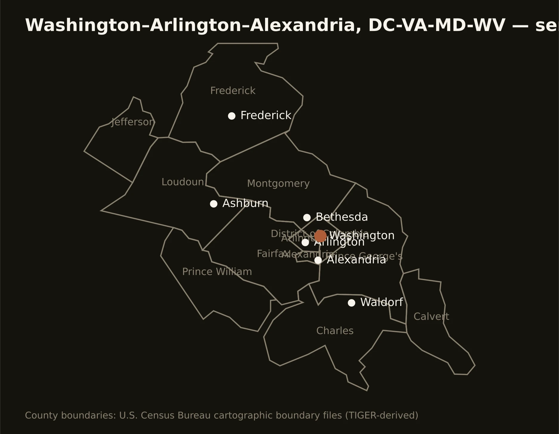
The capital region from the Blue Ridge's shadow to the Chesapeake's tidewater — DC itself, Northern Virginia's data-center engine, suburban Maryland's federal corridors, and the West Virginia panhandle riding along. Full county list on the service-area page.